Metes and Bounds
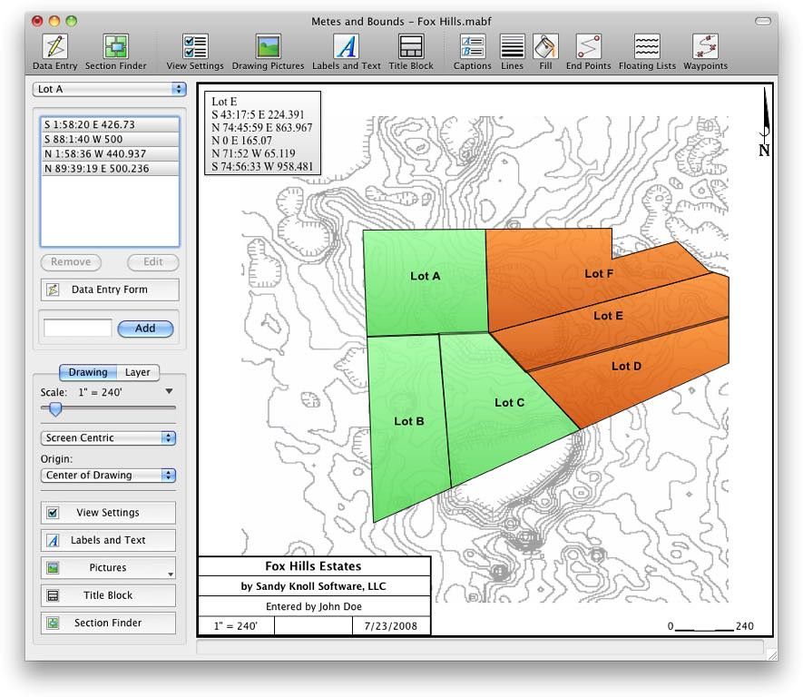
Metes and Bounds turns data into a deed plot map. It can calculate square feet, acreage and hectares. Enter measurements in rods, chains...
Description
Metes and Bounds turns data into a deed plot map. It can calculate square feet, acreage and hectares.
Enter measurements in rods, chains, meters, yards, inches, fathoms, hands, spans, or furlongs. Angles can be given down to minutes and seconds. Can auto-close a plot drawing if the final plot segment is missing. Calculate area. Custom labels and backgrounds. Split single plots into multiple plots. GPS Waypoints and more.
WHAT’S NEW
Version 5.6.0:
• Added trees to the waypoint icons.
• Added the ability to apply the current layer’s POB X,Y to other layers.
• Added the ability to align layers by X,Y.
• Fixed an issue with the Endpoint Lat/Long to POB Lat/Long form dropping the E/W marker, if used.
• [OSX] The floating lists now fit their datasets better.
REQUIREMENTS
• Intel, 64-bit processor
• OS X 10.9 or later
ScreenShots
:
If you are using Adblocker!! Please support this website by adding us to your whitelist. Ads are what helps us bring you premium content! Or read this to know how you can support us. Thank you!
Size
– 27.3MB
Previous Versions






Screenshots